Rangelands of Western Australia
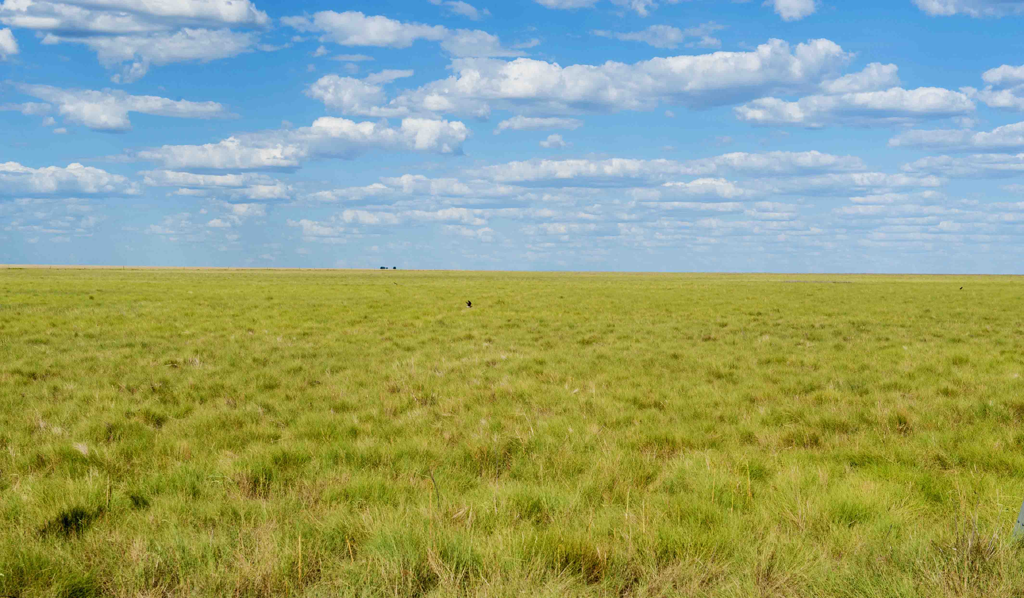
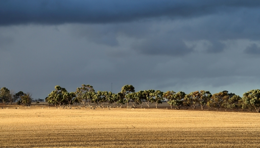
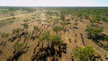
About three-quarters of Australia is classified as rangelands, with Western Australia’s (WA) rangeland region extending across a variety of climatic and resource conditions. WA’s rangelands have highly variable landscapes, covering 2.2 million square kilometres (87% of WA, which is all but the south-west agricultural region).
The rangelands consist of pastoral stations for grazing livestock, land vested for conservation, Indigenous purposes and unallocated Crown land. The rangelands have climates ranging from tropical to arid temperate; with topography including coastal plains, rocky ranges and semi-arid desert.
Types of rangelands
The northern rangelands, characterised by grasslands, include the Kimberley (206,775 km2) and the Pilbara (147,940 km2) regions.
The southern rangelands, characterised by shrublands, are mostly south of the Pilbara region and between the south-west agricultural region and the arid interior. This area contains the Gascoyne (138,650 km2), Murchison (128,620 km2) and the Goldfields–Nullarbor (235,850 km2) regions.
International Year of Rangelands and Pastoralists
2026 is the International Year of Rangelands and Pastoralists, a global campaign that highlights the importance of rangelands. To mark the occasion, DPIRD will be showcasing our work in these regions, the people who sustain them, and the significant contributions they make to Western Australia.
Keep an eye on our channels throughout the year to learn more about how we support WA’s rangelands.
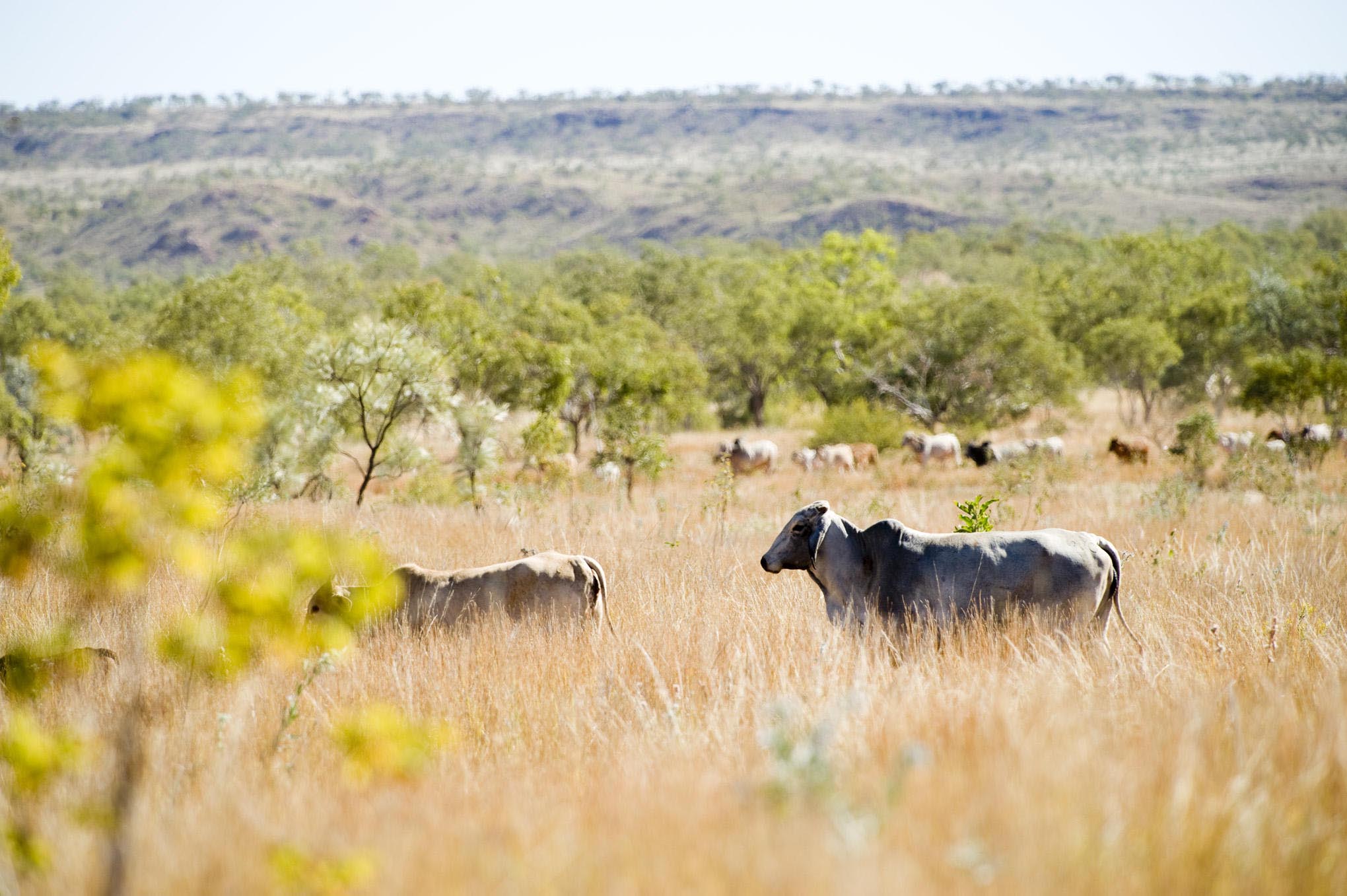
Pastoral management
The goal of pastoralism is a profitable livestock business, while maintaining the pastures and soil in good condition. WA’s pastoral rangelands have highly variable landscapes, soils, vegetation and climate conditions. Rainfall, livestock grazing and fire have an impact on the rangelands.
The department works with landholders to improve land condition through monitoring, assessment, addressing existing issues and developing sustainable production systems.
-
Framework used for assessing land condition and degradation risk
-
Glossary of common rangelands terminology
-
Kimberley pastoral land condition standards
Note: The condition standards for the southern rangelands are under development.
Pasture condition guides
-
Pasture condition guides for the southern rangelands, including the Gascoyne, Murchison and Goldfields-Nullarbor
-
Kimberley pasture condition guide
-
Pilbara pasture condition guide
Review of Potential Carrying Capacity
Maintaining pastoral lands for the future requires up-to-date information on the distribution and pastoral potential of the various pasture groups and the potential carrying capacity of pastoral leases across WA. Our Rangelands Science team is undertaking this work as part of a multi-year review.
Find out morePastoral land tenure maps
-
WA state map
-
Gascoyne region map
-
Goldfields-Nullarbor region map
-
Kimberley region map
-
Murchison region map
-
Pilbara region map
Additional resources
-
 Carbon farming refers to a range of practices that increase the amount of carbon stored in the landscape through the active management of vegetation and soil, or that avoid the release of greenhouse gases like methane and nitrous oxide by livestock and fire.View more about Carbon farming
 -
 The department supports the Western Australian agricultural sector in mitigating and adapting to the impacts of climate change.View more about Climate change
 -
 Dr Melanie Strawbridge is the Commissioner of Soil and Land Conservation. Staff of the Commissioner’s Office carry out administrative and inspectorial services under the direction of the Commissioner.View more about Commissioner of Soil and Land Conservation
 -
 Plants that are prevented entry into Western Australia or have control or keeping requirements are known as declared pests.View more about Declared weeds
 -
 The Pastoral Remote Sensing application offers satellite-based mapping tools and related information for every pastoral lease in Western Australia.View more about Pastoral Remote Sensing